
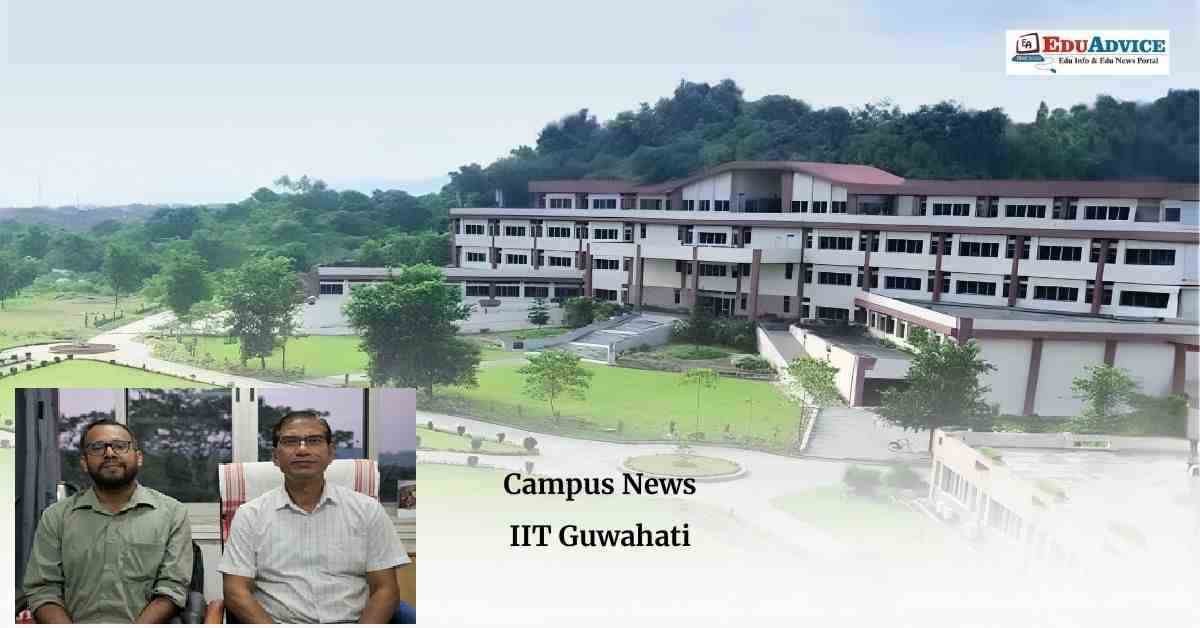
- Researchers analyse more than 36,000 vehicles and nearly 9 million vehicle positions on a Delhi highway to develop traffic prediction models suited to Indian road conditions.
Guwahati : Researchers at the Indian Institute of Technology (IIT) Guwahati have used high-resolution drone-based traffic data collected from a highway near Delhi to develop traffic stream models that can help analyse and predict vehicle movement under Indian road conditions.
The study examines the relationship between traffic density and vehicle speed while also accounting for variations in speed among vehicles travelling under similar traffic conditions. The research team tracked more than 36,000 vehicles and nearly 9 million vehicle positions, using the data to develop mathematical and machine learning models for traffic prediction.
The study was led by Prof. Akhilesh K. Maurya, Professor in the Department of Civil Engineering, IIT Guwahati.
Why India Needs Traffic Models Based on Local Road Conditions
Traffic stream modelling uses mathematical and computer-based methods to understand how vehicles move on roads. These models support traffic management, road design, traffic signal control, emergency response, traffic simulation and road-capacity assessment.
Many conventional traffic models are developed around relatively orderly traffic conditions and more homogeneous vehicle types. Indian roads, however, often accommodate two-wheelers, three-wheelers, cars and other vehicles sharing road space, alongside pedestrians.
Such mixed traffic creates considerable variation in vehicle interactions, speeds and gaps between vehicles. According to the research team, conventional models may not adequately represent these changing conditions.
Prof. Akhilesh K. Maurya highlighted the importance of collecting traffic data that reflects the diversity of Indian roads. He noted that drone-based monitoring can capture the movement of a large number of vehicles over a road section at high spatial and temporal resolution.
Drones Track More Than 36,000 Vehicles on a Delhi Highway
To study traffic behaviour, the researchers collected drone video footage on an eight-lane divided highway with wide paved shoulders on the outskirts of Delhi. The observations were made during daytime traffic.
The high-resolution data enabled the team to examine how vehicle speed and spacing changed as traffic density increased or decreased.
The researchers identified three broad patterns:
-
Relatively light traffic: Vehicles generally maintained larger gaps from one another.
-
Moderately heavy traffic: Gaps between vehicles became smaller, with vehicles following one another more closely.
-
Very heavy traffic: Vehicle gaps increased again as traffic conditions changed near congestion.
These findings indicate that the relationship between traffic density, vehicle spacing and speed is not necessarily linear. It can change considerably as traffic moves from free-flow conditions towards congestion.
Traffic Flow and Congestion: Key Observations
The study also reported that nearly 3,000 vehicles passed a point in each lane under full traffic flow before congestion developed.
During traffic jams, when vehicles were not moving, the observed density reached nearly 900 vehicles per kilometre of road across the entire width.
These observations provide insights into how vehicle movement and spacing vary under different traffic conditions on Indian highways.
Mathematical and Machine Learning Models for Traffic Prediction
Using the collected dataset, the research team tested six mathematical models and trained two machine learning models.
Instead of estimating only one vehicle-speed value for a given traffic condition, the researchers developed an approach that estimates a range of possible speeds. This is intended to represent the variability and unpredictability associated with heterogeneous traffic more realistically.
The approach could help traffic models account for differences in vehicle behaviour that may otherwise be overlooked by conventional methods.
Potential Applications in Traffic Management and Road Planning
The researchers said that India-specific traffic models could support several applications, including:
-
More realistic traffic simulation.
-
Better road and intersection design.
-
Congestion monitoring and management.
-
Road and highway capacity assessment.
-
Development of intelligent traffic-management systems.
-
Urban traffic digital twins and adaptive traffic control.
-
Evaluation of connected and automated mobility systems under Indian traffic conditions.
Prof. Maurya emphasised that reliable traffic management depends on models that represent actual road behaviour. High-resolution drone-based vehicle trajectory data can help capture interactions among different vehicle types and the variations that conventional models may not adequately represent.
Research Published in International Journal
The findings have been published in the International Journal of Intelligent Transportation Systems Research.
The research paper was co-authored by Prof. Akhilesh K. Maurya and his research scholars, Mr. Shekhar Singh and Mr. Surya H. Ravikumar.
The researchers noted that collecting similar high-resolution traffic data across different road types, cities and traffic conditions could further improve the understanding and prediction of vehicle movement in India.
The study highlights the potential of combining drone-based observation, mathematical modelling and machine learning to develop traffic analysis systems suited to India's diverse road environment.
FAQs
1. Which institute conducted the drone-based traffic research?
The research was conducted by IIT Guwahati.
2. Who led the IIT Guwahati traffic research study?
The study was led by Prof. Akhilesh K. Maurya, Professor in the Department of Civil Engineering at IIT Guwahati.
3. How many vehicles were tracked in the study?
The researchers tracked more than 36,000 vehicles and nearly 9 million vehicle positions on a highway near Delhi.
4. How were traffic patterns studied?
The team used high-resolution drone video footage to analyse vehicle movement, speed, spacing and traffic density.
5. What models did the researchers develop?
The team tested six mathematical models and trained two machine learning models to estimate vehicle speeds under different traffic conditions.
6. What did the study find about vehicle spacing?
Vehicles maintained larger gaps in relatively light traffic, followed one another more closely in moderately heavy traffic, and showed increased gaps again under very heavy traffic conditions.
7. How can this research help Indian road traffic management?
The models could support traffic simulation, congestion management, road design, capacity assessment and intelligent transportation systems suited to heterogeneous Indian traffic.
8. Where were the research findings published?
The findings were published in the International Journal of Intelligent Transportation Systems Research.
9. Who co-authored the research paper?
The paper was co-authored by Prof. Akhilesh K. Maurya, Mr. Shekhar Singh and Mr. Surya H. Ravikumar.
Click Here for More Science & Technology